Software Feature
Maps

Maps: Navigating the World Digitally
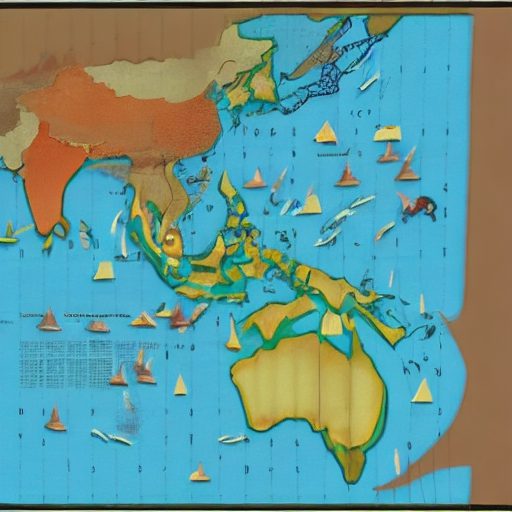
Maps are a fundamental software feature that allows users to explore, navigate, and visualize geographic information in a digital format. They enable users to view locations, identify routes, find points of interest, and gain insights about the world around them.
Interactive Geospatial Representation
Maps offer an interactive geospatial representation of the Earth’s surface, displaying various features such as roads, landmarks, buildings, and natural landscapes. Users can zoom in or out, pan across the map, and interact with different layers of information to explore specific areas and gather relevant details.
Navigation and Directions
Maps provide navigation capabilities, offering users turn-by-turn directions to their desired destinations. They calculate the optimal routes, considering traffic conditions, distance, and estimated travel time. Users can plan their journeys, follow step-by-step guidance, and receive real-time updates to navigate efficiently.
Location Search and Points of Interest
Maps allow users to search for specific locations, addresses, or points of interest. Maps often provide additional information such as user reviews, ratings, photos, and contact details to assist users in making informed decisions.
Geographic Data Visualization
Maps serve as a powerful tool for visualizing geographic data. They can display various layers of information, including population density, terrain elevation, weather patterns, and more. By overlaying data onto the map, users can gain valuable insights, spot trends, and make informed decisions based on spatial analysis.


